

Surveying and Mapping (except Geophysical) Services
Surveying and mapping firms perform boundary, topographic, construction, ALTA and as-built surveys for land developers, engineers, architects and municipalities. The specialists turn client requests into scheduled field crews with equipment and permits, field data into processed drawings and deliverables, and keep equipment calibration, project files and compliance paperwork organized. Field notes, monumentation and seal requirements stay with the licensed surveyor.
What makes this business different
- Precise field measurements using total stations, GPS, drones and levels that must match project control points
- Local permitting for right-of-way, easement and monument access before field work begins
- Coordination with multiple stakeholders including property owners, utilities and municipalities
- Equipment calibration logs, datum conversions and quality-control checks on every survey
- Digital and hard-copy deliverables that meet specific client, agency or recording standards
- Seasonal constraints such as snow cover, frozen ground or high water that affect field schedules
- Repeat municipal and developer clients who require consistent standards across multiple projects
Specialist bots

Project Intake Coordinator
Convert every client request into a scoped project folder with research and permit flags.
Works in: Ambitious Tasks, Ambitious Docs, Email Buckets · Workflows: Project request and scoping
Automates
- Reads incoming inquiries and proposal requests
- Pulls prior survey records and control information
- Drafts scope, schedule and estimate documents
- Creates standardized project task lists
- Flags required access permits
Stops for a person
- The licensed surveyor confirms scope and research findings
- A person sends all proposals and communications to the client
- Project manager approves final task list before fieldwork
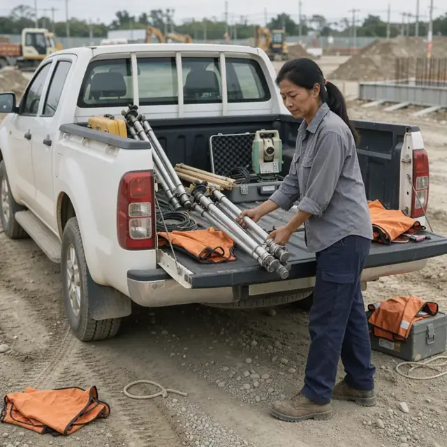
Field Crew Dispatcher
Match crews and calibrated equipment to projects while securing access permits.
Works in: Ambitious Tasks, Ambitious Docs · Workflows: Field crew dispatch and permitting
Automates
- Checks crew availability and instrument calibration status
- Evaluates weather and seasonal site conditions
- Drafts permit applications and owner notifications
- Assembles digital field packets for each crew
- Updates the master field schedule
Stops for a person
- The survey party chief reviews daily assignments
- A licensed surveyor or manager approves all permit submissions
- Crew confirms receipt of field packets before mobilization

Survey Data Processor
Import, adjust and prepare raw field data for drafting and analysis.
Works in: Ambitious Tasks, Ambitious Sheets, Process Optimizer · Workflows: Field data collection and quality control, Data reduction and drafting
Automates
- Imports and converts raw instrument files
- Runs traverse adjustments and error checks
- Organizes field notes and photos by point and line
- Flags closure errors and coordinate mismatches
- Prepares data layers for the drafter
Stops for a person
- The licensed surveyor reviews all adjustments and final coordinates
- Field crew verifies any questionable measurements
- A person checks that all monumentation is properly documented

Survey Drafter
Produce accurate plats, maps and digital files that meet project specifications.
Works in: Ambitious Docs, Ambitious Tasks · Workflows: Data reduction and drafting, Final deliverable and submission
Automates
- Creates base maps from processed data
- Draws boundary lines, easements and improvements
- Adds required notes, legends and certification blocks
- Exports files in client-specified CAD and PDF formats
- Runs completeness checklist before final review
Stops for a person
- The licensed surveyor performs final review and applies seal
- Client or agency comments are incorporated by a person
- All deliverables are approved before transmittal

Equipment and Calibration Manager
Track all survey instruments, vehicles and consumables and schedule calibrations.
Works in: Ambitious Sheets, Ambitious Tasks, Ambitious Docs · Workflows: Equipment calibration and asset tracking
Automates
- Maintains calibration and service schedules for each instrument
- Generates monthly equipment readiness reports
- Tracks battery, prism and target inventory levels
- Logs vehicle maintenance and mileage
- Flags instruments due for service before project assignment
Stops for a person
- A person performs or verifies all calibrations
- The owner approves purchases of new or replacement equipment
- Field crews report any damage immediately
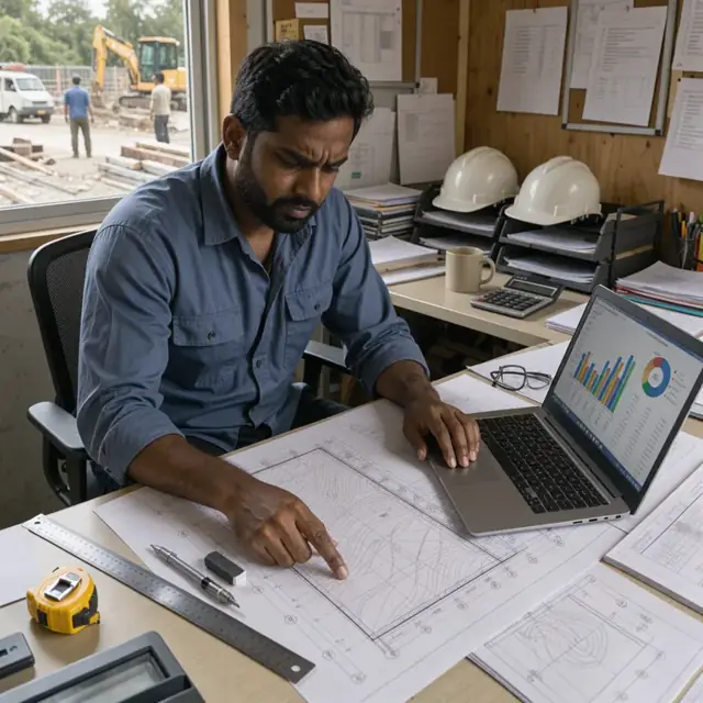
Client and Billing Coordinator
Manage client communications, draft invoices and track project financials.
Works in: Ambitious Tasks, Ambitious Docs, Email Buckets · Workflows: Client communication and invoicing
Automates
- Drafts status updates and preliminary result packages
- Prepares progress invoices from task completion data
- Tracks change orders and additional services requested
- Sends approved client communications
- Maintains project archive checklist
Stops for a person
- Project manager approves all client-facing messages and invoices
- The owner reviews and sends any final billings
- A person confirms receipt of client approvals and payments

Permit and Records Clerk
Track and prepare all access permits, research records and filing requirements.
Works in: Ambitious Docs, Ambitious Tasks, Contract Analyzer · Workflows: Project request and scoping, Final deliverable and submission
Automates
- Searches public records for prior surveys and deeds
- Drafts standard permit applications
- Maintains a master list of municipal submission requirements
- Checks deliverables against recording standards
- Reminds team of upcoming filing deadlines
Stops for a person
- The licensed surveyor confirms research conclusions and legal descriptions
- A person submits all permit and recording packages
- Owner verifies that every deliverable meets the confirmed client or agency requirements
Workflows
Project request and scoping
Starts when: A client inquiry or signed proposal arrives by email or portal
- Capture project type, location, deliverables and deadline from the request
- Check against existing control monuments, prior surveys and available records
- Draft a scope of work, schedule and fee estimate for review
- Create a project folder with task list and assign to the project manager
- Log required permits or right-of-way access
Watch for: Boundary and ALTA surveys require specific record research before fieldwork; Municipal clients often have standardized scopes that must be matched exactly
Field crew dispatch and permitting
Starts when: Project scope is approved and crew availability is known
- Match crew, instruments and vehicles to project requirements
- Check weather, seasonal ground conditions and daylight hours
- Draft permit applications for road closures or property access
- Prepare daily field packets with maps, control points and safety notes
- Send owner-approved notifications to adjacent property owners
Watch for: Right-of-way and easement permits must be secured before crew mobilization; Equipment must be calibrated within the required interval
Field data collection and quality control
Starts when: Crew reaches the site on the scheduled day
- Verify control points and set up instruments
- Collect boundary, topographic or construction layout data per the project spec
- Record field notes, photos and monument conditions
- Perform on-site checks for closure and accuracy
- Upload raw data to the project folder at end of day
Watch for: Multiple instrument types require specific data formats and checks; Monument recovery and setting must follow state board rules
Data reduction and drafting
Starts when: Raw field data is uploaded
- Import and process raw data files into the base coordinate system
- Adjust traverses and perform least-squares analysis
- Draft boundary lines, contours, utilities and improvements
- Compare results against record maps and client requirements
- Flag discrepancies for the licensed surveyor
Watch for: State plane coordinate systems and datums must be used correctly; Draftings must meet client or agency submission standards
Final deliverable and submission
Starts when: Drafting and calculations are complete
- Compile survey plat, legal description, notes and digital files
- Run standardized checklist for completeness and formatting
- Prepare transmittal letter and any required agency forms
- Draft client-ready PDF and CAD packages
- Track recording or filing deadlines
Watch for: Signed and sealed plats require final review by the licensed professional; Different municipalities require unique submission formats and quantities
Equipment calibration and asset tracking
Starts when: Monthly and before each major project
- Pull calibration due dates for total stations, GPS receivers and levels
- Schedule service or in-house checks
- Update equipment inventory and vehicle maintenance logs
- Track consumables such as reflective targets and batteries
- Generate monthly readiness report
Watch for: Calibration certificates must be kept current for each instrument; Lost or damaged equipment must be replaced before next field day
Client communication and invoicing
Starts when: Milestone completion or project end
- Draft status updates and preliminary results for approval
- Prepare draft invoice with percent complete and reimbursables
- Track change orders and additional services
- Request feedback on delivered work
- Archive final project files per company retention policy
Watch for: Progress billings often follow specific municipal or developer schedules; All client communications require owner or project manager approval before sending
Bot templates for this industry
Source: U.S. Small Business Administration, Office of Size Standards, Table of Small Business Size Standards Matched to North American Industry Classification System Codes, version March 2023 (effective 2023-03-17, NAICS 2022). Size standards are shown for reference only.